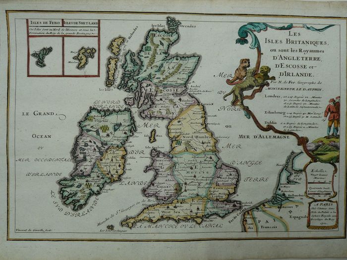
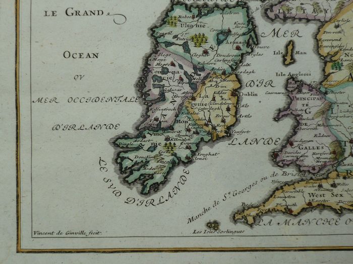
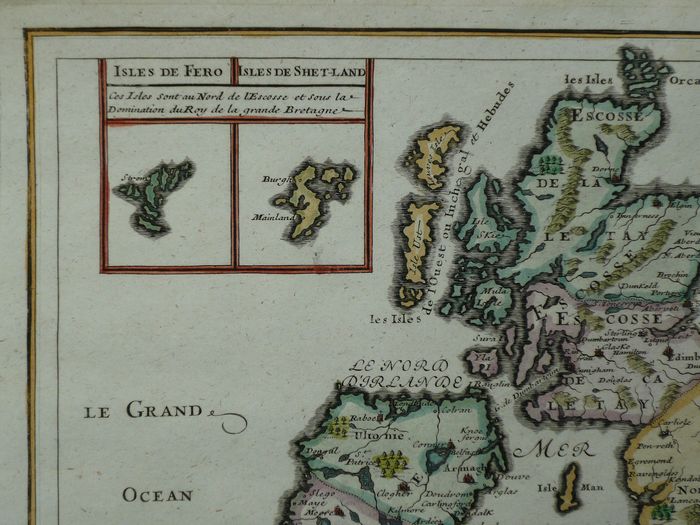
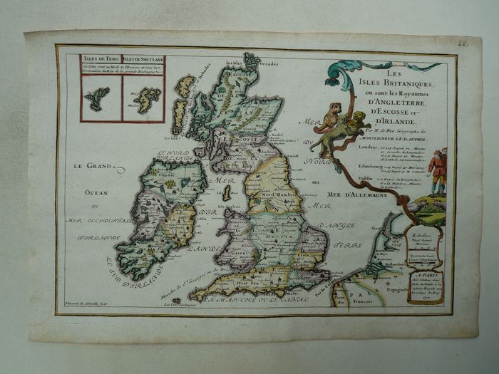
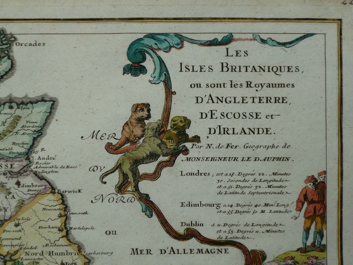
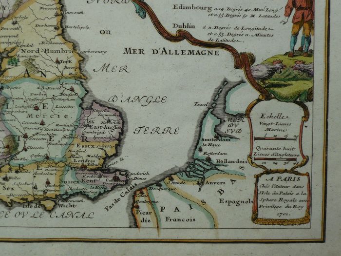
U.K & Ireland Map by Nicolas de Fer 1693 – The British Isles or are the Kingdoms of England, Scotland and Ireland – 1681-1700
€395.00
Description
22 x 33 cm.
Copperengraving published in “Les Forces d’Europe”. Paris, 1693.
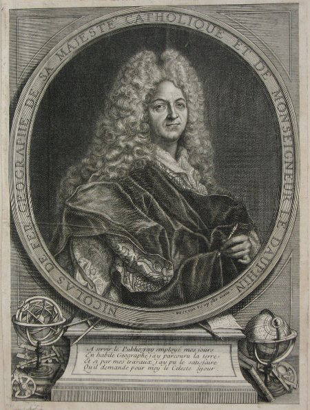
Nicolas de Fer (1646 – 25 October 1720) was a French cartographer and geographer. He also was an engraver and publisher. His works focused more on quantity than quality, there were often geographical errors, and they were more artistic than accurate.

